Record 15.05152 · Gandaki basin · 28.70°N 83.49°E
Unnamed
- Area
- 0.68 km²
- Elevation, floor
- 7,473 m
- Elevation, median
- 7,828 m
- Elevation, highest
- 8,142 m
- Length
- 755 m
The record of loss
1990200020102020
modelled · provisional
Area: 1990 0.71 km² (modelled) · 2000 0.68 km² · 2010 0.64 km² (modelled) · 2020 0.61 km² (modelled)
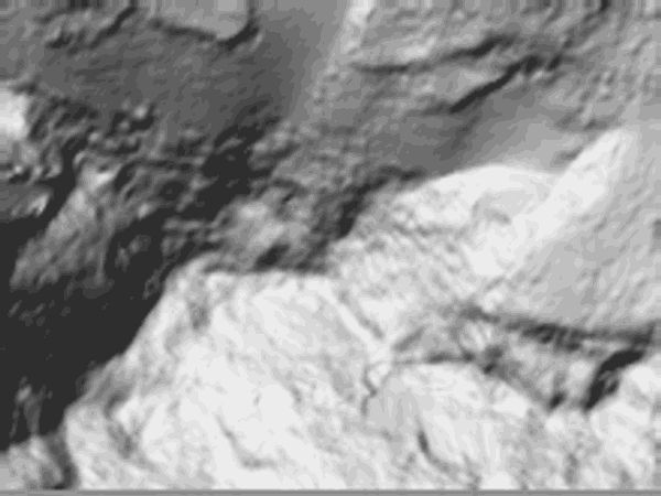
↓ 7,544↑ 7,751
0 — 0.2 km
Field notes
Unnamed. The highest ice in the register: a body of 0.68 km² that begins at 7,473 m and reaches 8,142 m, the highest elevation on any sheet in this survey window. Length on record: 755 m. At this altitude the glacier is small, cold, and slow; the modelled series moves from 0.71 km² in 1990 to 0.61 km² in 2020 — one tenth of a square kilometre across thirty years. The register keeps small records with the same care as large ones. Altitude is not immunity; it is delay.