Record 15.04813 · Gandaki basin · 28.56°N 84.09°E
Unnamed
- Area
- 14.38 km²
- Elevation, floor
- 4,176 m
- Elevation, median
- 5,828 m
- Elevation, highest
- 7,382 m
- Length
- 5,483 m
The record of loss
1990200020102020
modelled · provisional
Area: 1990 15.12 km² (modelled) · 2000 14.38 km² · 2010 13.68 km² (modelled) · 2020 13.01 km² (modelled)
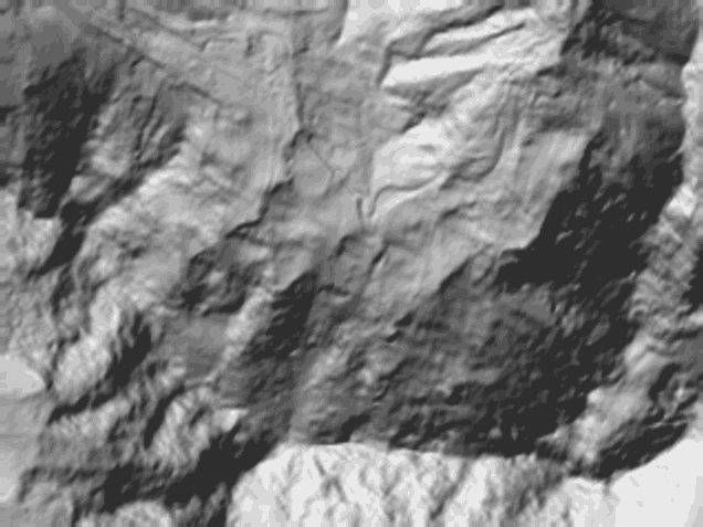
↓ 4,166↑ 7,412
0 — 5.5 km
Field notes
Unnamed. 14.38 km² directly beneath the face of Annapurna IV, the largest of the four records this register keeps above the Seti. It spans 4,176 m to 7,382 m over a run of 5,483 m. The flood of 5 May 2012 descended from this region of the mountain; that record is kept on its own terms, on its own sheet. Here the register records the ice and its change: 15.12 km² in the 1990 model, 14.38 km² measured at the 2000 anchor, 13.01 km² in the 2020 model.