Record 15.04811 · Gandaki basin · 28.55°N 84.13°E
Unnamed
- Area
- 1.64 km²
- Elevation, floor
- 6,490 m
- Elevation, median
- 7,153 m
- Elevation, highest
- 7,563 m
- Length
- 2,025 m
The record of loss
1990200020102020
modelled · provisional
Area: 1990 1.72 km² (modelled) · 2000 1.64 km² · 2010 1.56 km² (modelled) · 2020 1.48 km² (modelled)
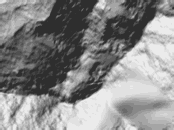
↓ 6,494↑ 7,591
0 — 1.6 km
Field notes
Unnamed. The highest-hanging of the Annapurna IV group: 1.64 km² of ice that begins at 6,490 m and holds the ridge to 7,563 m, nowhere reaching ground below the height of most mountains. Length on record: 2,025 m. Ice at this altitude loses mass slowly and lets go rarely. What leaves this shelf descends toward the Seti; the register states the position. Modelled series: 1.72 km² in 1990, 1.48 km² in 2020, provisional until the decadal inventory replaces the model.