Record 15.04809 · Gandaki basin · 28.53°N 84.17°E
Unnamed
- Area
- 4.65 km²
- Elevation, floor
- 3,951 m
- Elevation, median
- 4,885 m
- Elevation, highest
- 5,616 m
- Length
- 4,547 m
The record of loss
1990200020102020
modelled · provisional
Area: 1990 4.89 km² (modelled) · 2000 4.65 km² · 2010 4.42 km² (modelled) · 2020 4.21 km² (modelled)
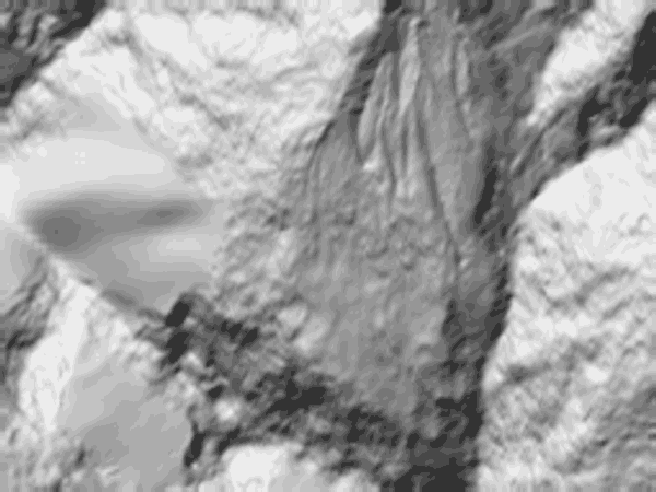
↓ 4,000↑ 5,593
0 — 4.0 km
Field notes
Unnamed. 4.65 km² at the 2000 survey, lying between 3,951 m and 5,616 m below Annapurna IV, in the ground above the Seti. Length on record: 4,547 m. Its terminus is the lowest of the four glaciers this register keeps on that face. The modelled series runs from 4.89 km² in 1990 to 4.21 km² in 2020; the 2000 figure is the only measured anchor. The ice above a city is a fact of hydrology before it is a fact of scenery. The register keeps it as the former.