Record 15.04803 · Gandaki basin · 28.50°N 84.07°E
Unnamed
- Area
- 2.16 km²
- Elevation, floor
- 4,879 m
- Elevation, median
- 5,218 m
- Elevation, highest
- 5,818 m
- Length
- 2,396 m
The record of loss
1990200020102020
modelled · provisional
Area: 1990 2.27 km² (modelled) · 2000 2.16 km² · 2010 2.05 km² (modelled) · 2020 1.95 km² (modelled)
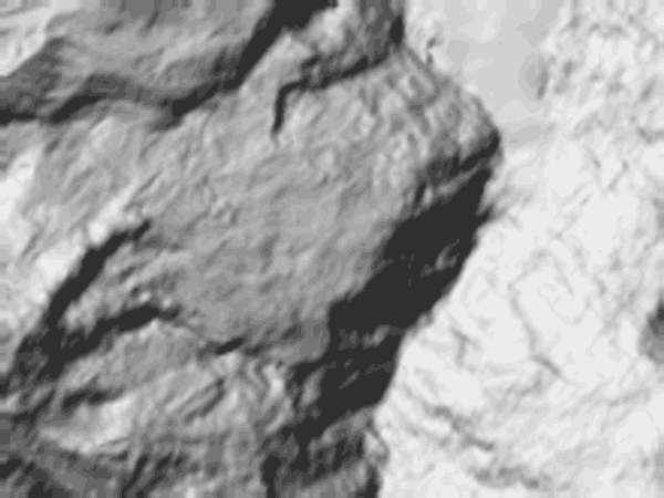
↓ 4,869↑ 5,819
0 — 2.3 km
Field notes
Unnamed. A hanging glacier of 2.16 km² on the slopes below Annapurna IV, in the ground that drains to the Seti and the city beneath it. It sits between 4,879 m and 5,818 m; length on record, 2,396 m. The flood of 5 May 2012 originated in this region of the mountain. This record states the position, nothing more; the record of that day is kept on its own sheet. Modelled series: 2.27 km² in 1990, 1.95 km² in 2020, provisional.