Record 15.04541 · Gandaki basin · 28.74°N 84.46°E
Unnamed
- Area
- 31.27 km²
- Elevation, floor
- 3,734 m
- Elevation, median
- 5,768 m
- Elevation, highest
- 6,508 m
- Length
- 17,925 m
The record of loss
1990200020102020
modelled · provisional
Area: 1990 32.87 km² (modelled) · 2000 31.27 km² · 2010 29.74 km² (modelled) · 2020 28.28 km² (modelled)
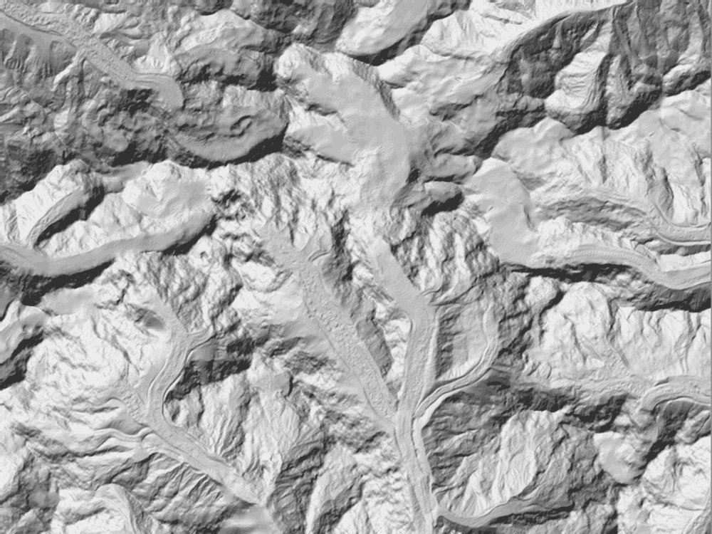
↓ 3,723↑ 6,527
0 — 11.4 km
Field notes
Unnamed. Second in the register by area — 31.27 km² at the 2000 survey — and first by length: 17,925 m of ice, the longest run in the window, descending from 6,508 m to a terminus at 3,734 m. A valley glacier that does not travel in a straight line; the surveyed fall line crosses a ridge the ice itself goes around. The modelled series puts it at 32.87 km² in 1990 and 28.28 km² in 2020, provisional until the decadal inventory is on file.