Record 15.04515 · Gandaki basin · 28.50°N 84.16°E
Unnamed
- Area
- 42.40 km²
- Elevation, floor
- 3,609 m
- Elevation, median
- 6,384 m
- Elevation, highest
- 7,587 m
- Length
- 9,241 m
The record of loss
1990200020102020
modelled · provisional
Area: 1990 44.58 km² (modelled) · 2000 42.40 km² · 2010 40.33 km² (modelled) · 2020 38.35 km² (modelled)
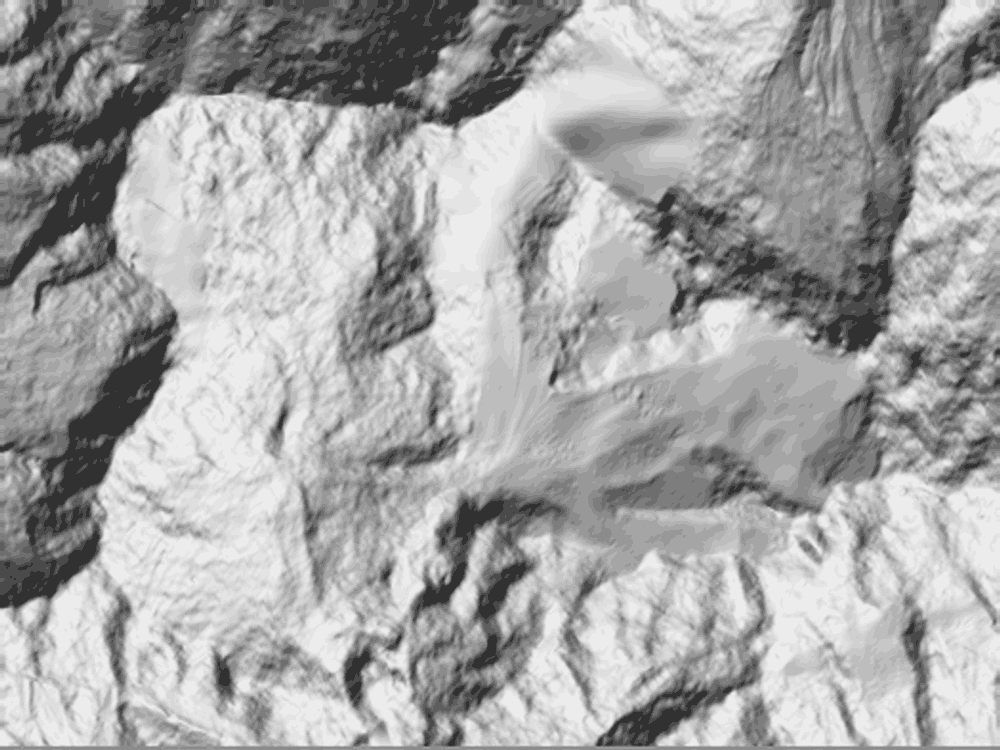
↓ 3,709↑ 7,556
0 — 8.4 km
Field notes
Unnamed. The largest body of ice in the register: 42.40 km² at the 2000 survey, reaching 7,587 m and running 9,241 m down to a terminus at 3,609 m. The record number is the only name it has ever carried. The decadal series is modelled, pending the ICIMOD inventory: 44.58 km² in 1990, 38.35 km² by 2020 — a projected loss of six square kilometres, roughly fourteen percent, in one working lifetime. The measurements will be revised. The direction of the series will not.